03 · Volmaken Engineering Pvt. Ltd.
Surveying & Geospatial
Total station, GNSS and UAV photogrammetry for highways, irrigation, industrial plots and urban works, with drawings and GIS that designers can actually use.
Overview
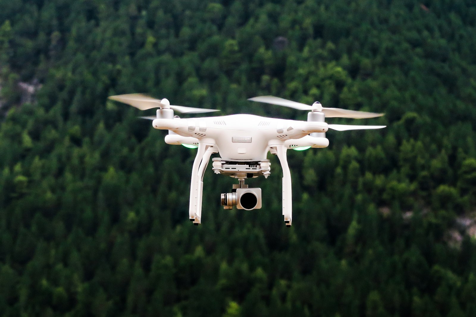
Every DPR, every earthwork bill and every alignment argument starts with a survey. Volmaken Engineering field crews establish control, capture terrain and structures, and deliver drawings in the coordinate system the designer specified — not the one that was convenient on the day. Drone mapping is used where it earns its keep: corridors, stockpiles and sites that would take weeks on foot.
Next conversation
Let’s build a better tomorrow together.
Tell us the package, the plant, or the plot. We will tell you which part of the network should sit in the room — and what we need from you on day one.